Forming the southern Warren County border, the big river runs forty-two-and-a-half miles through a wide valley flanked on the northwest by the Allamuchy and Pohatcong mountains, and Schooley’s and Musconetcong mountains to the southeast in Morris and Hunterdon counties, twisting and turning over the ruins of our past.
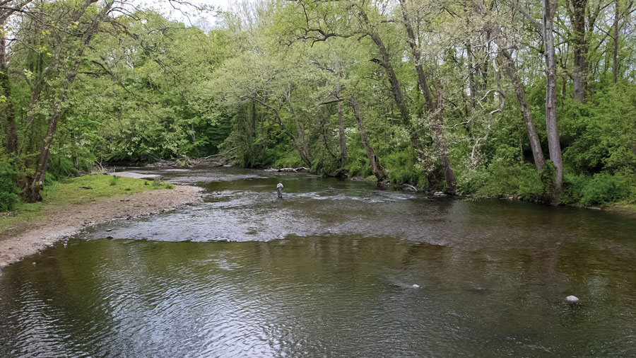
As it enters Warren, access to the river is easy along Waterloo Road (Route 604), where the Morris Canal ran roughly parallel to much of Musconetcong’s west bank, as far as Lake Hopatcong. The The Morris Canal Greenway Trail is accessible further west from Kinney Road, where the canal skirts Waterloo Village’s large concert field, offering scenic views of the river. The trail runs along Waterloo Road for a short distance and then to another historic industrial area, where a stream flowing from Deer Park Pond on top of Allamuchy Mountain once powered a sawmill. Ruins of the sawmill remain, as does a lime kiln next to it. Nearby is the site of Lock 4 West, and the lock tender’s house, once known as Elsie’s Tavern. Fishermen crowd the area just below Saxton Falls where the canal met the river at Lock 5 West. A dam was constructed so that the Musconetcong could be used as a slack water navigation section of the canal. Saxton Falls includes the filled lock, a commemorative plaque regarding the canal, and a cleared section of towpath stretching more than a half-mile. Believe it or not, eels make their way all the way up here from the Atlantic Ocean to this waterfall!
The river runs along the southern edge of Allamuchy Mountain State Park and its smaller cousin, Stephens State Park where visitors can enjoy scenic picnics along the river or take advantage of numerous hiking and mountain biking trails. There are also thirty-nine tent and small trailer campsites with fire rings and picnic tables open from April through October. Flush toilets and showers are within walking distance.
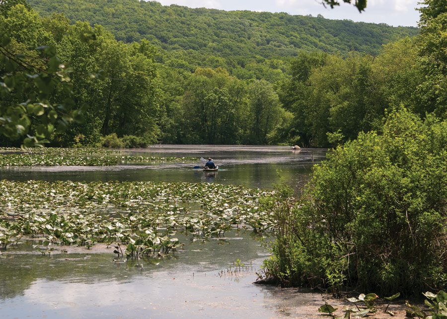
Despite the Musconetcong’s generally benign reputation, there are actually critical changes as it flows through an ever-changing landscape. Paddlers, who can put in at points along the entire length the river, must be aware of still-existing dam locations, and wary of the skeletal remains of more dams that hide just beneath the water’s surface. Most of the river moves along, but for the most part there are not many challenging rapids.
Driving west on Route 46 into Hackettstown you can see the full sweep of the river valley, hills receding into the distance on either side. In the middle are farms, forest, a church spire or two and the gleam of the dome that rises at Centenary University. Founded in 1867, Centenary now enrolls 1,100 undergraduates and nearly an equal number of adult and graduate students at the main Hackettstown campus, national-level equestrian center, and off-campus learning centers. At the Lackland Performing Arts Center, the Centenary Stage Company, a not-for-profit theater with a cast and stage crew of Actor’s Equity professionals, schedules special events, concerts and theater productions. The company also offers the Young Performers Workshop, a musical theatre training course; and the annual Women Playwrights Series, a new works development program.
The wide sidewalks in downtown Hackettstown offer visitors a glimpse of what was and still is in this celebrated Victorian town. Amidst the historic churches and long-standing shopping district, local restaurant ambiance ranges from chic to hip to homey. Menus offer foods from nearly every continent, and preparations are fresh, dynamic and dressy. Two excellent microbreweries add to the charm of this thriving community.
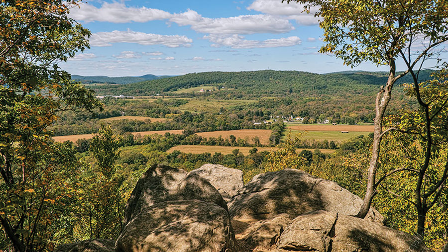
The Musconetcong passes through the east end of town and out along the Route 57 corridor and the base of Schooley’s Mountain. South of Washington Borough, the river passes a large rocky projection extending upward on Schooley’s known as Point Mountain. On the Hunterdon County side, you can hike the scenic Point Mountain Reservation riverwalk, among old stone rows and once-cleared pastures, or to the overlook that reveals the splendid Musconetcong valley beyond.
The river passes through Changewater, where an abutment for a towering railroad trestle was constructed in the mid 1880s when the village was a thriving industrial town. Further downstream at Hampton, a Pratt pony truss bridge has provided passage over the river since 1868, one of innumerable bridges of various architectures and uses that have survived, many carefully preserved because of their innovations in engineering. But the most striking collection of industrial artifacts in the valley are mills and their remnants. Gristmills were first, as settlers preferred to bring their grain long distances to be turned into flour, sparing the hard work required to grind grain at home. Commercial mills sawed trees for lumber, finished cloth, and crushed flax seed for linseed oil. Each of these self-contained grinding factories, along with the iron forges, distilleries and tanneries drew their power from the water as it fell eight hundred feet through the valley to the Delaware.
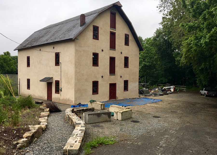
In 1865, an impressive new stone grist mill rose at present-day Asbury, high above the river where it bends sharply to the southwest. The mill was later adapted to process graphite until its eventual closure in 1970. While Asbury Graphite Mills, today the world’s largest independent merchant and processor of refined graphite and carbons, still maintains a production facility and corporate offices there, the village has also become headquarters for the Musconetcong Watershed Association (MWA). A non-profit organization chartered in 1992 to “enhance and protect” the river and everything that flows into it, the MWA has been a model for successful locally based organization, achieving precise and ambitious goals that foster the ecological and cultural fitness of the Musconetcong Valley. The group’s earliest efforts included volunteer water quality monitoring, educational seminars for property owners, teachers and local officials, and annual river cleanups. The Association worked long and hard to secure Federal “Wild and Scenic River” designation for the beloved Muskie, an effort that required endorsement by fourteen municipalities. The term is a bureaucratic one, but the designation, which was achieved at the end of Congressional business in December 2006, put the watershed’s health at the top of the list when development decisions are made in the valley.
Asbury is also the location of some of the prime evidence of early Paleo-Indian civilization along the Musconetcong, where the excavation of the Plenge archeological site has yielded more than fourteen thousand artifacts that now reside at the Smithsonian Institute. Archeologist Herbert Kraft, the preeminent scholar on the later Minisink habitation in the Delaware Valley, documented many of the objects, some thought to be thirteen thousand years old. To the Watershed Association, the Musconetcong Valley is a cultural landscape still in the making. In contrast to minimal impact on the river valley from thousands of years of Native American habitation, a relatively short span of European settlement has dangerously degraded soil, forests, wildlife, and water.
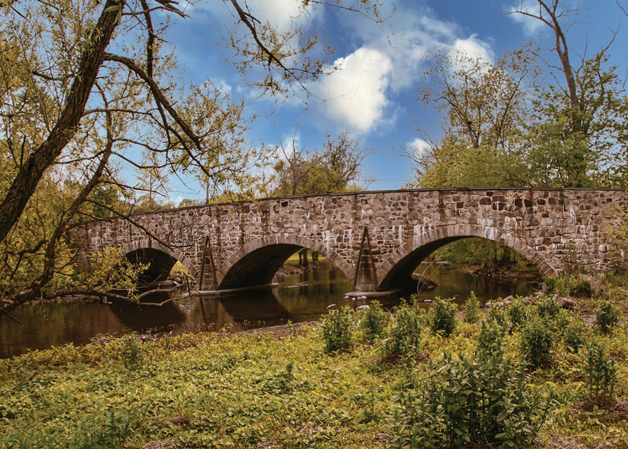
Beyond Asbury the Musconetcong’s wild and scenic designation seems increasingly appropriate as the valley begins to narrow and squeeze the river into a gorge in an area known today as Warren Glen. In the 1720s the lower Musconetcong Valley’s first European settlers were quick to harness the water’s power as it shot out of the gorge, building dams and millraces all along the last few miles of the river. Many of those dams have since been removed under the guidance of the MWA, restoring the Musconetcong to its natural free-flowing course. Kayakers and canoeists enjoy safer passage with the elimination of portages and treacherous hydraulic traps below the dams. Fishermen enjoy a greater variety of native fish to catch, including migratory shad. The valley remains much as it was almost three hundred years ago, its small settlements clustered along the sparkling stream; its cultivated fields stretching up the gentle slopes on both sides of the river. And the river itself, whose power has brought centuries of life and prosperity to the valley’s inhabitants, still rushes down to the Delaware, adding to an essential supply of potable raindrops for millions of people.
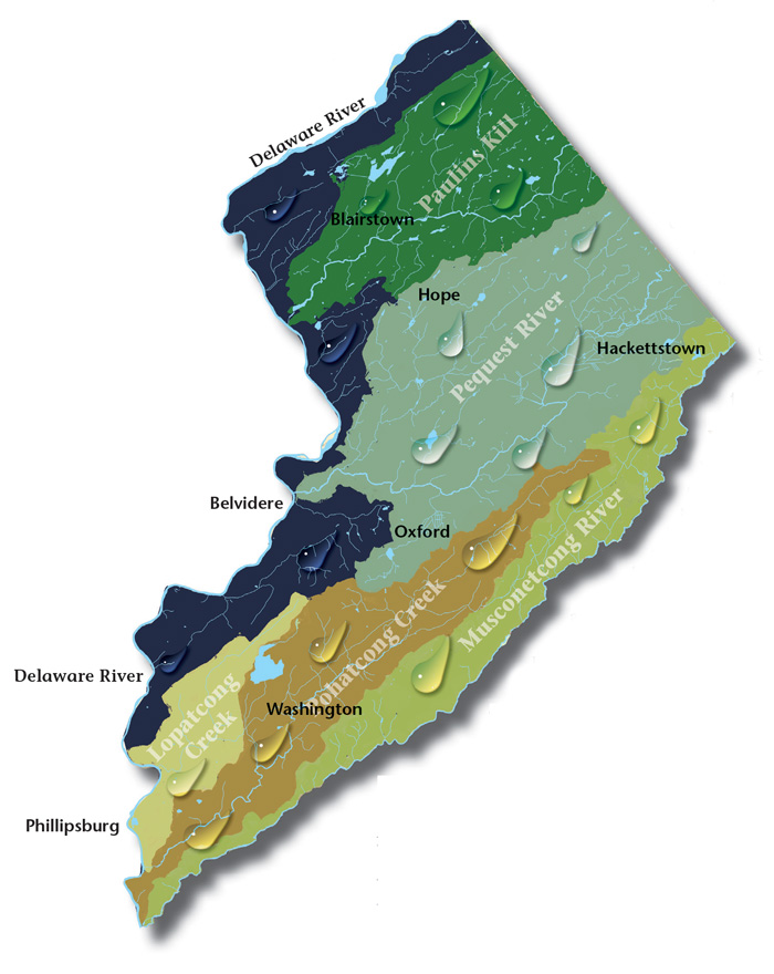
Paulins Kill Valley. The river flows north from its source near Newton in Sussex County, and then turns southwest toward the Warren County townships of Frelinghuysen, Hardwick, Blairstown, and Knowlton.
Pequest Watershed. The Pequest River begins in Sussex County and flows thirty-two miles to where it meets the Delaware in Belvidere, Warren’s county seat.
Lopatcong Creek. Lopatcong Creek pours down the Scotts Mountain Ridge in Harmony Township towards its appointment with the Delaware River twelve miles southwest at Phillipsburg.
Pohatcong Creek. Following Pohatcong Mountain, another of the many Appalachian ridges that run through Warren County, the Pohatcong Watershed lies parallel and between those of the Musconetcong River to the south and the Pequest to the north.
The Centenary Stage Company produces professional equity theatre and also a wide variety of top-flight musical and dance events throughout the year.
Consider Rutherfurd Hall as refuge and sanctuary in similar ways now, as it served a distinguished family a hundred years ago.
Local roots!

A fine art gallery like no other! Unique, handmade gifts and cards as well as yoga, meditation, and continued learning lectures. Come in Saturdays for all-day open mic and Sundays to try unique nootropic chocolate or mushroom coffee. Browse the $5 books in the Believe Book Nook while you nibble and sip.
The 8,461 acre park includes the 2500-acre Deer Lake Park, Waterloo Village, mountain bike and horseback trails.